
Grace, Idaho: Understanding the Water Behind the Fields and the Powerhouse
Grace, Idaho: Understanding the Water Behind the Fields and the Powerhouse
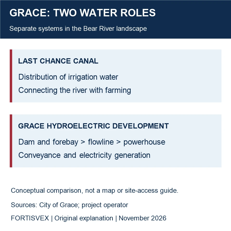
A canal and a hydroelectric development can share a river without being the same project. Around Grace, that distinction is a useful starting point for understanding the working landscape. Irrigation moves water toward crops; power generation uses a controlled flow through generating equipment; the river continues to support other demands downstream.
The canal in Grace's local history
In an April 10, 2023 municipal article, Grace describes the Last Chance Canal as an important part of its agricultural history. The account emphasizes the labor involved in carrying Bear River water across difficult ground to farms, and later work on the canal's dimensions and lining.
The useful local connection is practical: farming depended on a distribution system as well as on the river itself. A field beside a canal belongs to a landscape shaped by maintenance, water delivery and coordinated labor. The municipal article is a retrospective; its description of regional importance should not be read as a present water-delivery commitment to a particular property.
A separate path to the powerhouse
The operator's Bear River project overview identifies Grace as one of three developments, alongside Soda and Oneida. Its description of Grace includes a dam, forebay, long flowline and powerhouse. Those components have different jobs: holding or directing water, conveying it, and generating electricity.
The overview also explains the wider project's dependence on irrigation-season releases from Bear Lake and the effect that limited river water can have on generation. This ties power production to the seasonal water system rather than to the dam alone.
Management includes more than generation
The operator records a stakeholder settlement in August 2002 and a new federal license in December 2003. Its summary identifies recreation, aquatic resources and conservation funding among the resulting obligations. The local industrial story therefore includes negotiated river uses as well as engineering.
That broader perspective helps explain why a project archive contains both construction records and environmental documents. They describe different questions: how the facilities were built, how water is managed, and what responsibilities accompany operation. Historical capacity figures are not proof that a particular generating unit is running today.
Agriculture remains part of the city's own account
A separate municipal article updated March 20, 2023 describes cooperation among local seed-potato growers. Its emphasis on seed for a following season adds a useful distinction to the agricultural picture: the crop can be an input to another crop, rather than only food ready for sale. Claims about national rankings or current output are not needed to explain that role.
For an agricultural or community presentation, a 3-by-5-foot Idaho flag is a contemporary display option where the mounting arrangement suits it. Keep local crop and water records readable; the flag supplies state context, not certification or an endorsement by growers.
For a present-day display that places Grace within a wider regional story, the state flag collection lets you choose the states represented. If the display also includes a U.S. flag, browse American flags by material and check the selected product’s size and mounting details. These are display-planning choices, not evidence of flags used in Grace’s past.
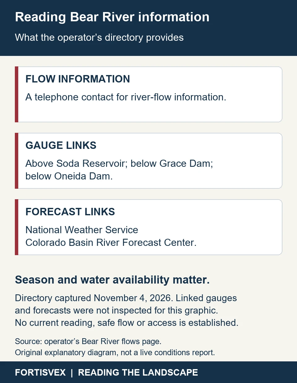
The operator's river-information page is a starting point for river information. This historical explanation supplies neither a boating schedule nor a safe-flow assessment.
Recent Posts
-
Bloomington, Idaho: Family Records in Town, a Distinctive Landscape Beyond
Bloomington offers two different starting points for learning about a place: records kept by a comm …Nov 4th 2026 -
New Meadows, Idaho: The Depot That Kept Finding a Purpose
A railway depot can explain more than a train route. In New Meadows, the Pacific & Idaho Northern de …Nov 4th 2026 -
Bellevue, Idaho: A Fire Cart, a Town Hall and a Territorial Charter
The old town hall at 206 Main Street offers a compact way into Bellevue's history. It began as a pl …Nov 4th 2026