
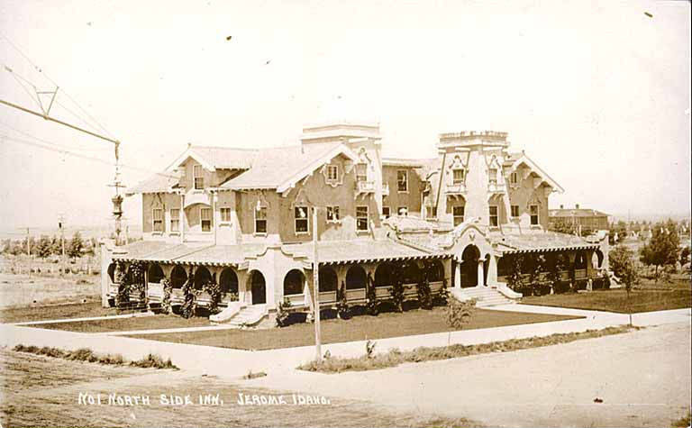
Jerome on Paper: From Town Lots to Digital City Maps
Jerome's history can be followed through the ways people recorded the town: a plat for selling lots, petitions about local government, and later maps of public infrastructure. These records serve different purposes. Together they offer a practical way to study a community whose early development was tied to irrigation, without reducing its history to one founding date.

The townsite before the municipal milestone
The city's streets history places the survey and platting of the village in summer 1907. It identifies September 30 that year as the formal townsite opening and lot sale, and says electricity and piped water were already available. The account then describes a petition presented to Lincoln County commissioners on July 15, 1909, requesting village incorporation, which was granted.
A separate municipal overview associates the town's establishment with the Kuhn brothers and a North Side irrigation enterprise. It gives March 24, 1919, as the date Jerome became a municipal corporation. The pages use different descriptions for the government milestones. Without the original petition and legal instruments, this article does not treat the dates as interchangeable or supply an unsupported explanation of the transition.
Mapping the city's working parts
The city's GIS history dates electronic collection and cataloging of mapping information to 1997. Earlier engineering drawings formed part of the starting material. The city describes combining those files with other information and using GPS equipment to record features such as hydrants, parks, street signs and water meters.
That account explains why a modern infrastructure map differs from an early town plat. One may help document lots offered for sale; another organizes information needed to manage services. A classroom comparison should identify the date, maker and purpose of each map, rather than assume that a line on one proves what existed at the same location decades earlier. The 1921 Sanborn map below shows a later view of Jerome, distinct from both the original townsite plat and modern infrastructure mapping.
A focused Jerome history display
The town plat and the later GIS account offer a concrete comparison: land offered for sale versus features recorded to manage public services. Read the maker, date and purpose of each record before using it to describe the same block at another point in time. The competing namesake accounts remain unresolved.
For a modern Jerome records display, a FORTISVEX 3-by-5-foot Idaho flag supplies state context. The historical claims should remain tied to the townsite and mapping records, without inventing a flag connection to the 1907 lot sale.
Keep municipal milestones separate from state admission dates when building a timeline; the state birthdays reference provides that separate statewide context. For another display size, compare the Idaho flag collection rather than assuming the same format suits every display.
Recent Posts
-
New York Half-Staff Notice: Ron Canestrari, November 14, 2026
New York Governor Kathy Hochul has directed flags on all State government buildings to be lowered to …Nov 13th 2026 -
Maryland Flag Half-Staff for Dennis C. McCoy on November 12, 2026
The Maryland flag is to be flown at half-staff from sunrise to sunset on Thursday, November 12, 2026 …Nov 12th 2026 -
Cord-and-Tassel Rings: Wood or Aluminum Pole, Same Outside Diameter
Two cord-and-tassel rings can share the same listed outside diameter without being the same replacem …Nov 9th 2026