
Harrison, Idaho: Reading the Waterfront Through What Survived
Harrison, Idaho: Reading the Waterfront Through What Survived
Harrison’s history is visible in more than its oldest buildings. Empty sites, the waterfront below the town, and the relationship between water and rail tell different parts of the story. Reading them together helps explain why the commercial streetscape does not simply reproduce the town that stood before the fire of 1917.
A gateway before the fire
Kootenai County’s Harrison history records incorporation in 1899 and describes passengers arriving by railroad and steamboat. Timber, farming and the mining district contributed to the town’s activity. The waterfront supported sawmills producing lumber, shingles and box material. These were working connections: the shore was part of the town’s economy, not merely a scenic edge.
The county’s account draws on a 1911 directory that listed hotels, schools, churches and a newspaper. That is a dated picture of an established community before disaster, not a description of businesses operating today. It also helps explain why damage to both the industrial waterfront and business district could change the town so profoundly.
Buildings and missing buildings
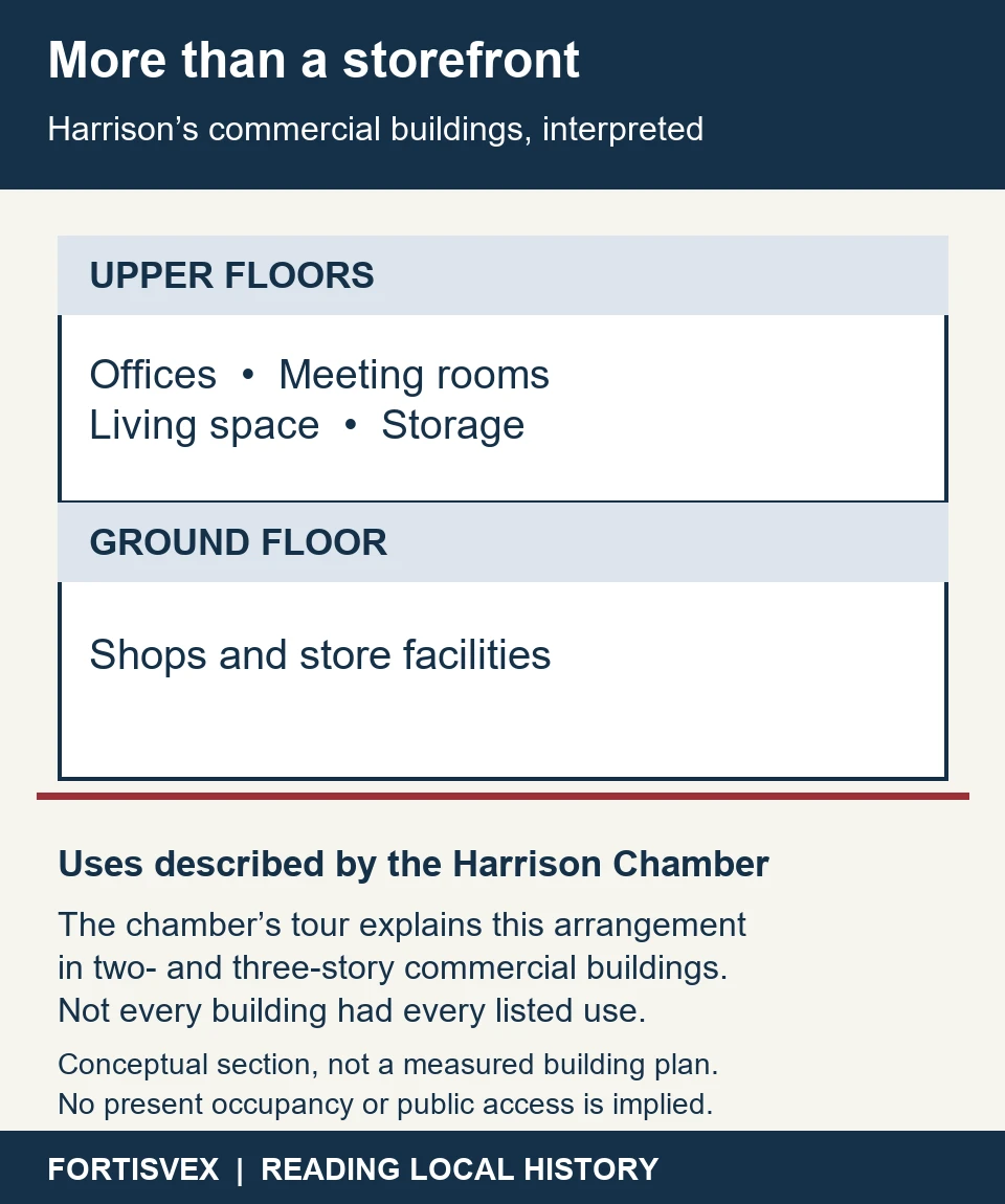
The Harrison Chamber’s historical walking-tour introduction describes the commercial district as a late-1910s streetscape developed after the fire. It identifies brick and clay-tile construction and explains the familiar arrangement of shops below offices, meeting rooms, storage or living space. That makes the upper floors worth noticing as well as the storefronts.
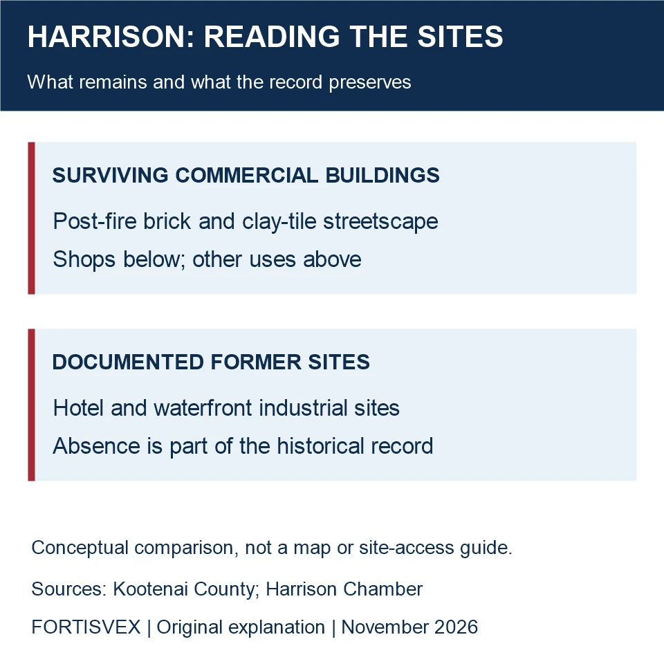
The same tour deliberately includes places where buildings no longer stand, including the former hotel site and waterfront industrial sites. An open space can therefore be part of the historical record. A surviving wall answers one question—what was rebuilt—while a documented vacant site answers another: what disappeared.
Following the shoreline responsibly
The Idaho Department of Parks and Recreation’s Trail of the Coeur d’Alenes page includes a Harrison map section. It is the appropriate starting point for route information, rather than treating a historical walking description as a current access guarantee. The agency also directs users to remain on the trail, wash before eating and avoid drinking surface water. Those instructions matter when exploring an industrial landscape; attractive scenery is not a substitute for current site guidance.
For an Idaho-history presentation, a modern flag can identify the state without pretending to be a recovered Harrison artifact. FORTISVEX’s Idaho state flag collection provides that contemporary option. Label any accompanying historical photograph or map separately with its actual date and source.
When choosing a flag for that present-day presentation, compare the listed size and mounting details of the 3-by-5-foot Idaho flag with your display space. If a U.S. flag is also part of the display, the American flags by material category offers a separate starting point for selection. Neither choice identifies a flag used in historic Harrison.
Harrison rewards attention to contrasts: water transportation and streets uphill, commercial rooms and industrial shore, surviving masonry and documented absences. Those relationships give a visit more meaning than a list of old buildings alone.
Recent Posts
-
Bloomington, Idaho: Family Records in Town, a Distinctive Landscape Beyond
Bloomington offers two different starting points for learning about a place: records kept by a comm …Nov 4th 2026 -
Bellevue, Idaho: A Fire Cart, a Town Hall and a Territorial Charter
The old town hall at 206 Main Street offers a compact way into Bellevue's history. It began as a pl …Nov 4th 2026 -
Harrison, Idaho: Reading the Waterfront Through What Survived
Harrison, Idaho: Reading the Waterfront Through What Survived Harrison’s history is visible in more …Nov 4th 2026